--° Weather
Kilpisjärvi village
Ladataan...
Saana's top
Ladataan...
Updated:
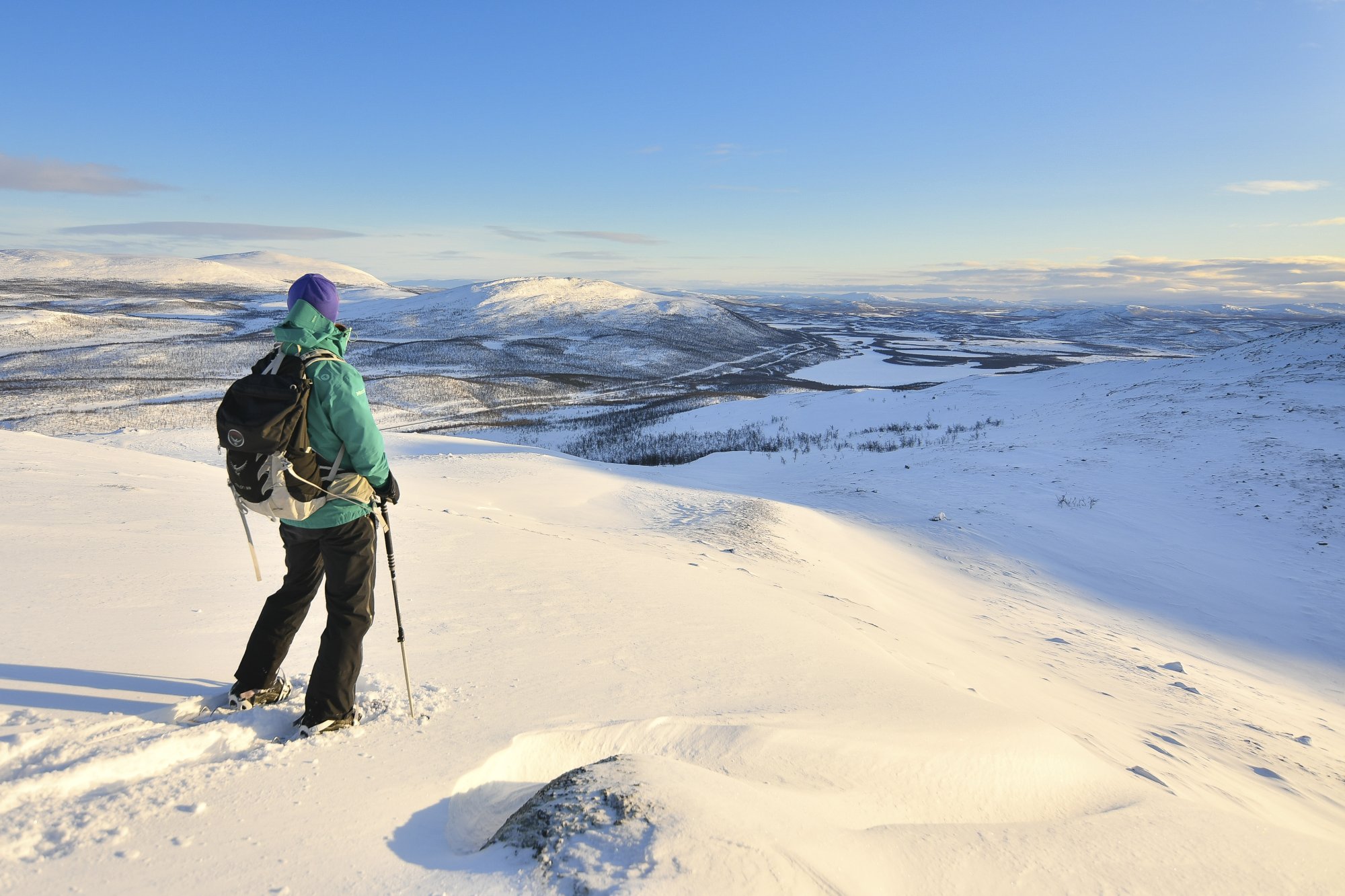
Leutsuvaara is a peaceful and scenically rewarding fell in the Muotkatakka area, south of Kilpisjärvi. The trail begins at a place familiar to many—the highest point of Finland’s road network which is about 10 km south from Kilpisjärvi village. Leutsuvaara is an excellent destination for a day hike, both in summer and in winter.
The path to the summit begins at the Muotkatakka rest area, a spot familiar to many and marked by a sign indicating the highest point of Finland’s road network (10 km south from Kilpisjärvi). The trail is not officially marked, but it is clearly visible in the terrain. To minimize wear on the fragile nature, it is recommended to stay on the existing path for the entire hike. The distance to the summit is just under one kilometre, with an elevation gain of approximately 150 metres.
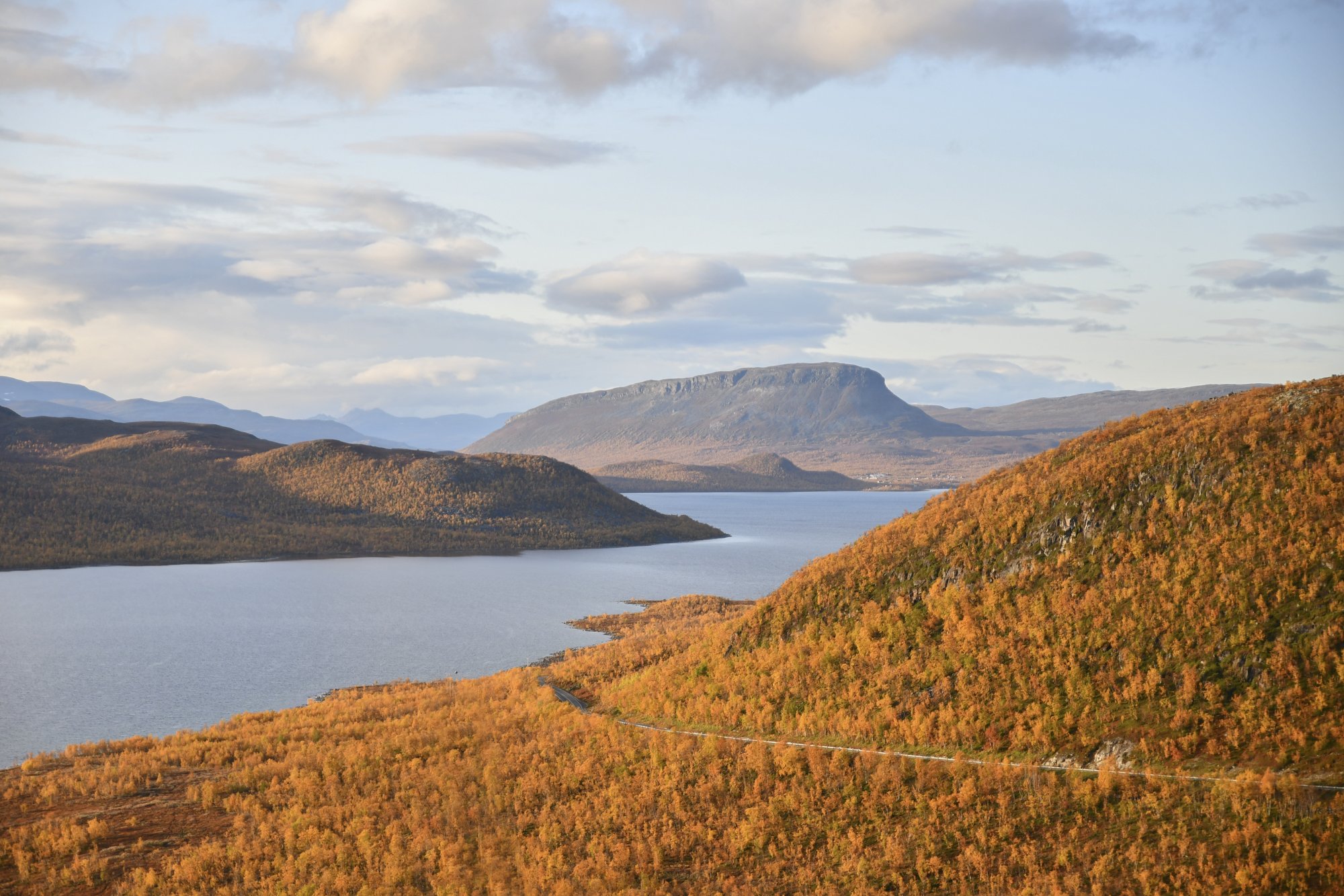
Already at Muotkatakka, at the very start of the trail, one of Kilpisjärvi’s most impressive views opens up. It is the first place when arriving from the south where the unmistakable silhouette of Mount Saana comes into view at the far end of Lake Kilpisjärvi. From the summit of Leutsuvaara, the panorama becomes even more striking: to the east rise the snow-capped, sharply contoured fells of Sweden’s Pältsa range and the headwaters of the Könkämäeno River. To the south stretches an endless rolling fell landscape, cut through like a ribbon by Highway 21. To the north, beyond the shimmering lake, stand Saana and the fells on the Norwegian side.
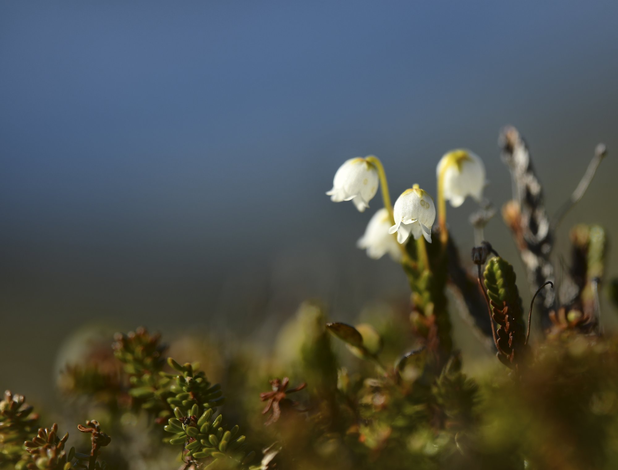
Leutsuvaara is a very peaceful hiking destination year-round and at all hours of the day. It is an excellent place to spot northern lights, alpine plants, and often also birds of prey such as rough-legged buzzards. Read more about summiting Leutsuvaara from Muotkatakka in our hiking story: Leutsuvaara – a fell at the highest point of Finland’s road network.