--° Weather
Kilpisjärvi village
Ladataan...
Saana's top
Ladataan...
Updated:
The world’s northernmost three-country border point is located in Kilpisjärvi. One of our most popular attractions draws visitors from around the world to step effortlessly into three neighboring countries in just seconds by walking around the shared border cairn.
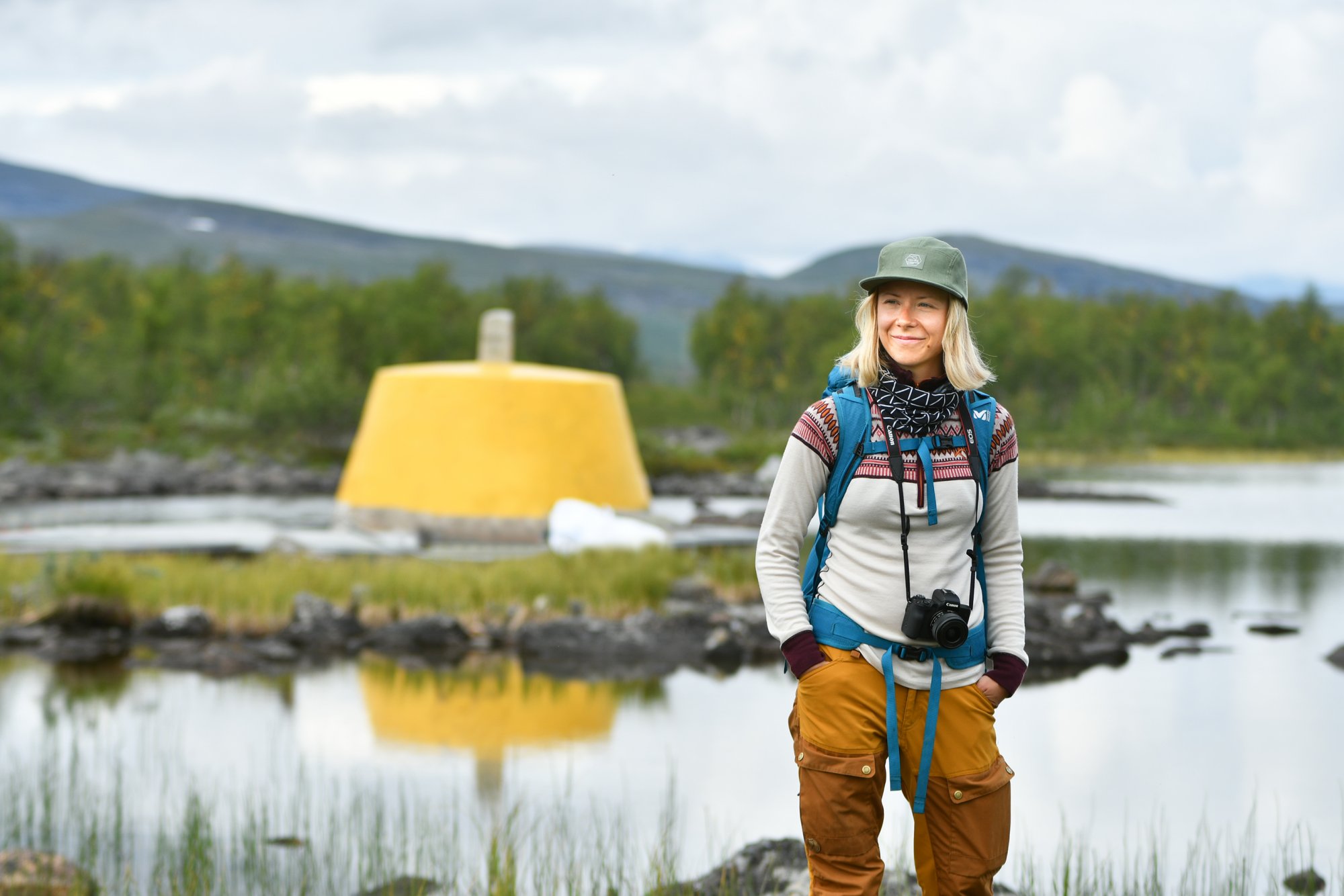
The Three-Country Cairn is located in Lake Goldajärvi, in the northwestern corner of Kilpisjärvi and Finland. On the Finnish side, the border point lies within Malla Strict Nature Reserve and can be reached from Kilpisjärvi by hiking along the Nordkalott Trail.
In summer, you can hike to the Three-Country Cairn through Malla Strict Nature Reserve. The round trip is approximately 20 kilometers, or about 24 kilometers if starting from Kilpisjärven Retkeilykeskus. A faster option is to take the Malla boat, which departs from our shore and takes you to Koltalahti, just three kilometers from the border point. From there, you can visit the cairn and return along the same easy trail to catch the boat back, or continue on foot from the border point to the Kilpisjärven Retkeilykeskus, a hike of about 15 kilometers. This journey takes several hours or nearly a full day, but it is well worth the effort. Along the way you will see, among other highlights, the famous Kitsiputous waterfall (“Tears of Malla”) and a restored World War II-era bunker.
You can read more and see photos from a day hike in Malla Strict Nature Reserve.
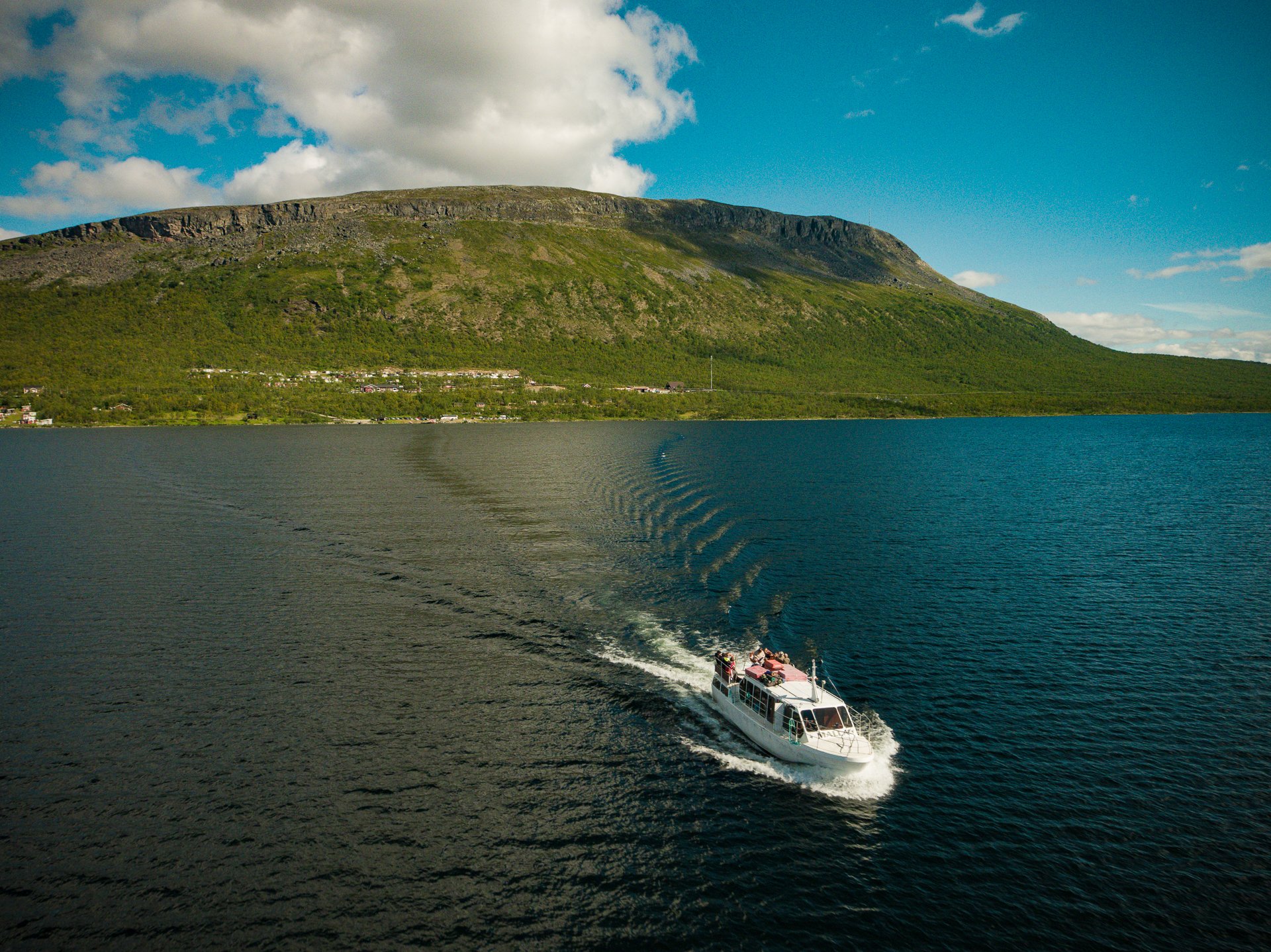
Seats on the Malla boat do not need to be reserved in advance (except for groups), and tickets are purchased directly on board. During the summer and early autumn season, the boat departs from our shore twice daily, at 10:00 and 15:00. Please note that in early summer the ice on Lake Kilpisjärvi usually melts only around mid-June, and the boat does not operate before that. The boat trip from our shore to Koltalahti takes about 30 minutes, and the boat waits at the pier in Koltalahti for two hours before returning.
In winter, you can reach the Three-Country Cairn either by skiing across the frozen lake or via Malla Strict Nature Reserve. Groomed tracks are prepared later in the spring, but as soon as the ice is strong enough, you can follow snowmobile tracks across the lake toward the border point. The skiing distance from Kilpisjärven Retkeilykeskus is approximately 10 kilometers one way. You should have some experience of skiing and find out about wether predicitions before you go.
The route through Malla Strict Nature Reserve is demanding and requires experience in backcountry skiing, whether you follow a track or travel off-trail.
There are a few options for overnight stays near the Three-Country Border Point. On the shore of nearby Lake Kuohkimajärvi, there are reservable and open wilderness huts maintained by Metsähallitus. Camping within the nature reserve is not permitted, except in the immediate vicinity of these huts.
On the Norwegian side, on the shore of Lake Goldajärvi, there is a DNT reservable cabin. To stay there, at least one person in the group must be a member of the Norwegian Trekking Association (DNT) and possess a compatible cabin key. These keys are available at Kilpisjärven Retkeilykeskus for a €10 deposit upon presentation of a valid membership card.
When staying at Kilpisjärven Retkeilykeskus the Three-Country Cairn is easily accessible. In summer, you can board the Malla boat directly from our shore and head toward Koltalahti. You may return on the same boat as a day trip – or walk back at a relaxed pace through the picturesque landscapes of Malla Strict Nature Reserve. In late winter and early spring, the trip is also easily made on skis: from our shore you can conveniently join a cross-country ski track that leads toward the fell landscapes surrounding the border point.